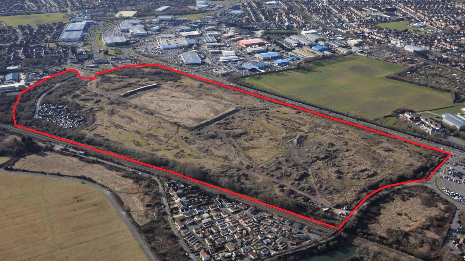
Description
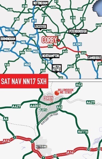
Corby is located in Northamptonshire and lies 14.5km (9 miles) north of the A14, which links the M1 and A1. The town is approximately 37km (23 miles) north-east of Northampton, 35km (22 miles) south-east of Leicester and 31km (20 miles) west of Peterborough. The east coast ports of Felixstowe and Harwich and the major conurbations of Manchester, Leeds, Bristol and London are all within three hours drive time.
Corby has been included within the Government's Milton Keynes and South Midlands Sub-Regional strategy. According to government figures released in March 2010 Corby has the fastest growing population in the UK. Up to 2021 North Northamptonshire is estimated to grow its employment workforce by 47,400 jobs and, to absorb this growth in population, 16,800 new houses are due to be built in Corby over the same period.
Corby has a population of 87,000 (2009 census) which is expected to rise by 1% per annum from 2009 to 92,000 by 2014. It's significant industrial base attracts major companies to the town including Avon Cosmetics, Golden Wonder, British Steel Consumer Products, British and American Tobacco, Dixons, Electrolux & Morrisons.
Communications
Road - Corby has excellent road communications, with the A6 offering links to Leicester 40km (24.8 miles) to the north west and the A43 connecting the town with Peterborough 40km (25 miles) to the north east and Northampton 36.5km (22.7 miles) to the south west. The A43 also provides access to the A14 16km (10 miles) to the south. The A14 links to the M11 and Cambridge 67.5km (42 miles) to the south east and the M1 46km (28.6 miles) to the West. The Corby Southern Relief Road, a £34 million project is now open.
Rail - A new station in Corby, opened in April 2009, provides direct links to London St. Pancras with a fastest journey time of 1 hour and 14 minutes.
Situation
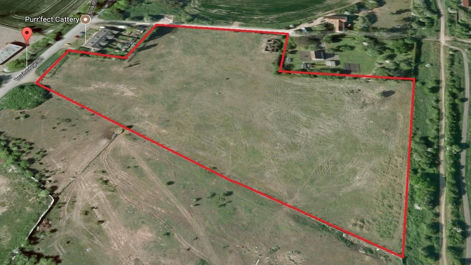
The Property is situated on the northern edge of Willowbrook East Industrial Estate, 3.5km (2.2 miles) to the north of Corby town centre.
The property is accessed directly from Shelton Road with the Rockingham Speedway Situated directly to the north. Shelton Road leads south to the A6116 Steel Road which runs east west to Corby town centre and the A43 respectively. The A14 link to the A1 approximately 22km (13.6 miles) to the north east. To the south east the A43 connects with the A14 at Kettering before joining the M1 at Junction 19.46 km (28.5 miles) from the property.
The newly developed £8.3m Corby railway station is approximately 3.5km (2.2 miles) to the south-west to the property. It has been estimated by the North Northants Development Company, that the opening of this rail service has the potential to unlock an estimated £200m of further commercial investment in the area.
The property is adjacent to and south of Rockingham Motor Speedway. There is currently a development Master-Plan being prepared by North Northants Development company involving over 80.94ha (200 acres) of land for a high quality employment development centred on the speedway circuit. This proposal incorporates the property.
The property is also a short distance from Priors Hall, which, at 400ha (988 acres), is one of the largest on-going developments in the country. Since gaining planning approval in 2007, significant development has taken place. The scheme will provide 5,100 homes, three new schools, 200ha (494.2 acres) of parkland and employment initiatives designed to generate 3,000 jobs.